No. 16 (677) March 2026
Field Work on Selecting Pilot Plots for Studying Irrigation Norm and Hydromodule Zones in the Fergana Valley
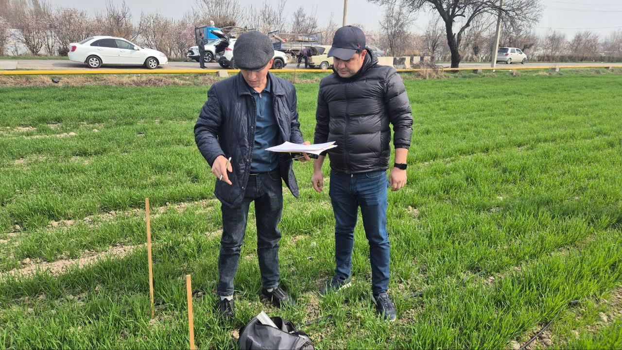
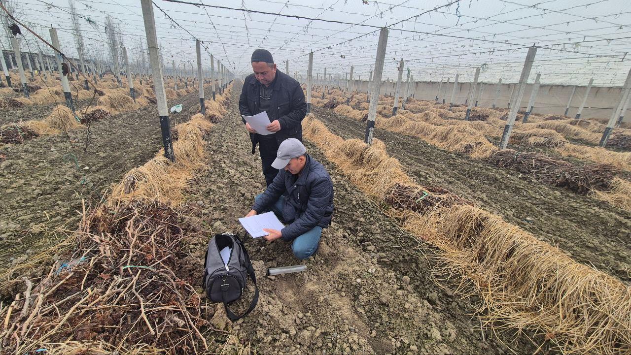
С From March 2 to 7, 2026, as part of the project “Correction of hydromodule zoning of the Syr Darya River Basin using remote sensing data and satellite mapping technologies for correction of water consumption and irrigation regimes for agricultural crops cultivated in the region,” another field survey was conducted in the study areas of the Andijan, Namangan, and Fergana provinces.
Project experts from SIC ICWC, together with representatives of water management organizations and farms from the three provinces, took part in the field mission.
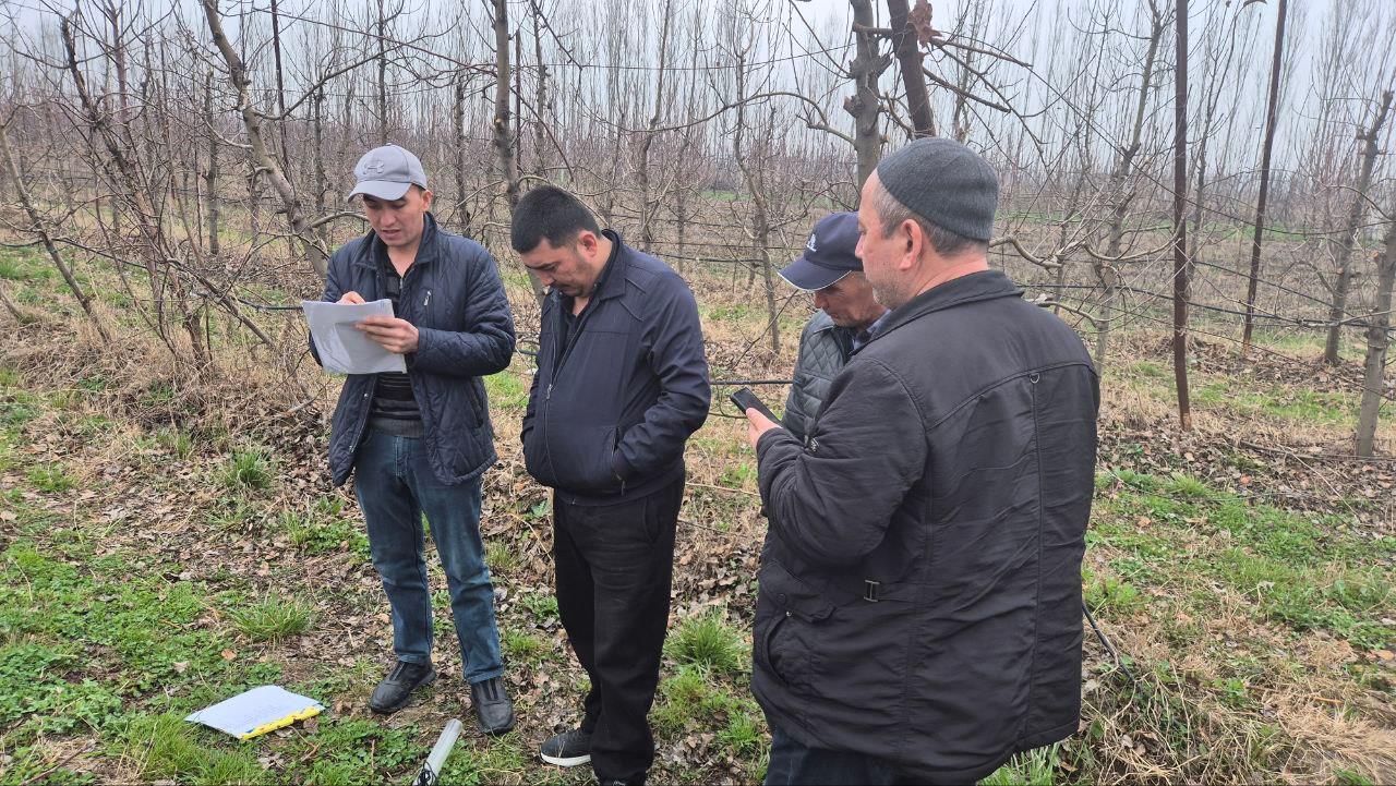
The main objective of the field trip was to select pilot plots in orchards, vineyards, and alfalfa fields for further research aimed at evaluating irrigation regimes in different hydromodule zones of the Fergana Valley. Based on the collected data, it is planned to refine crop water requirements using modern satellite technologies and remote sensing methods.
During the mission, experts inspected crop fields, held meetings with farm representatives, and discussed the effectiveness of current irrigation practices, as well as opportunities to introduce innovative approaches based on satellite observations and field measurements.
In addition, field studies were carried out at previously selected pilot plots located in each hydromodule zone of the three provinces in the Fergana Valley. Phenological observations were conducted in these plots, the volume of water delivered to the fields was recorded, data on the irrigation regime of winter wheat were collected, and soil salinity measurements were taken.