No. 50 (711) June 2026
Expedition by SIC ICWC to the Lake Systems in the Amu Darya River Delta and the Suenli Canal
As part of the SIC’s research plan, experts of the Center organized an expedition to the lake systems in the Amu Darya River Delta and the Suenli Main Canal from 12 to 20 May 2026.
The objective was to conduct a comprehensive monitoring of sanitary-environmental conditions of the water bodies to collect data for comparison with the results of a similar survey of May 2025. This approach enables an objective assessment of changes in hydro-ecological situation under the current climatic and water conditions.
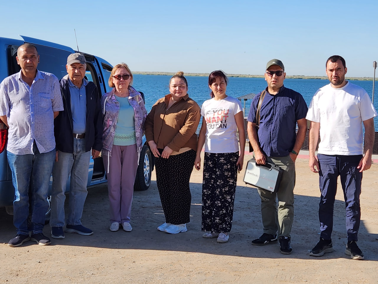
The expedition team included the following experts:
- I. Ruziev, Lead expert, Research-analytical division for regional water management;
- Z. Yarullina, Chief expert, Research-analytical division for regional water management;
- F. Abdullaeva, Head of Training division;
- M. Rakhimova, Lead expert of Regional Computing and analytical division;
- D. Atadjanov and I. Ruziev, Experts of Regional Information and Analytical Center;
- M. Ruziev, driver
Interagency cooperation and coordination
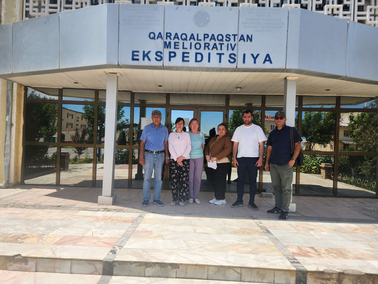
The expedition commenced in Nukus with a series of work meetings with the heads of key environmental and water management agencies in the region, including with L.P. Seitova, Minister of Ecology and Climate Change of the Republic of Karakalpakstan and representatives of the Amu Darya Delta Administration.
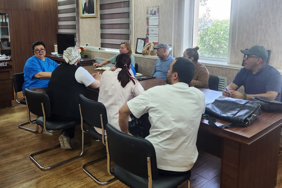
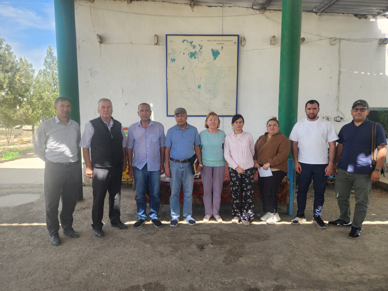
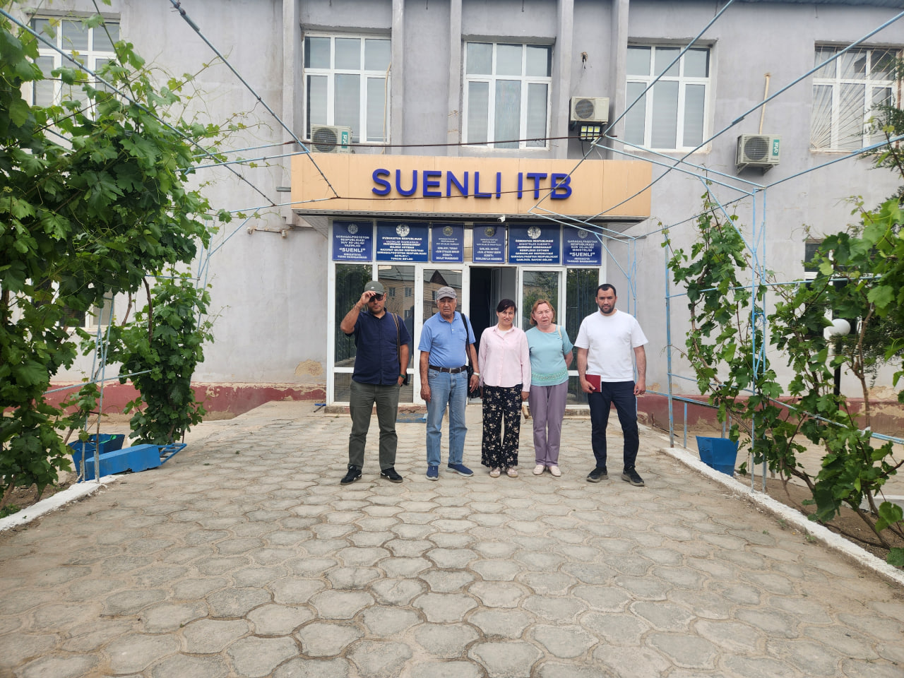
Subsequent meetings were held at the Land Reclamation Field Office of the Republic of Karakalpakstan and the Suenli Canal Administration. During the meetings, Mrs. Yarullina presented the objectives and tasks of the monitoring program.
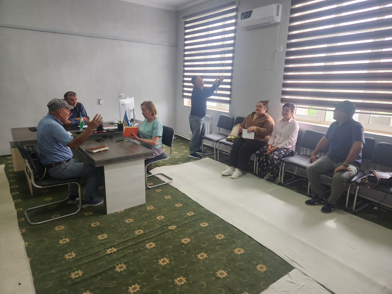
The discussions focused on the increasing water scarcity in the lower reaches of the transboundary river basin. The participants also coordinated practical joint measures aimed at mitigating the environmental and socio-economic impacts of low water availability on the region’s lake systems.

Map of the study area
Cartographic and technical support for the survey
The field surveys were supported by a schematic map of the study area at a scale of 1:250,000, prepared by SIC ICWC using Landsat-8 satellite images of May 2026. A portable Garmin eTrex 30x GPS navigator was used for georeferencing of the surveyed sites and recording of expedition routes.
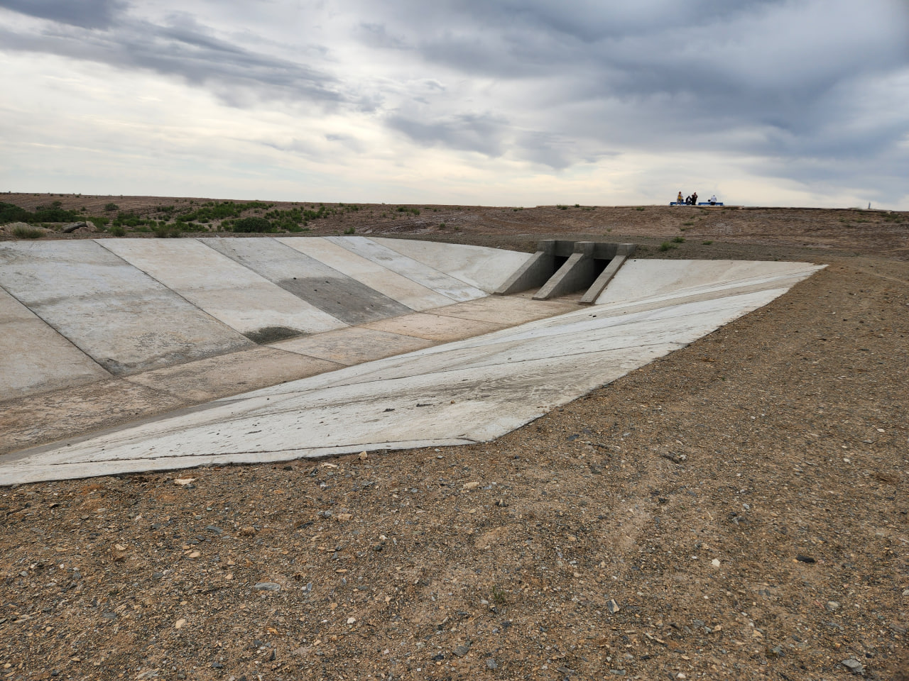
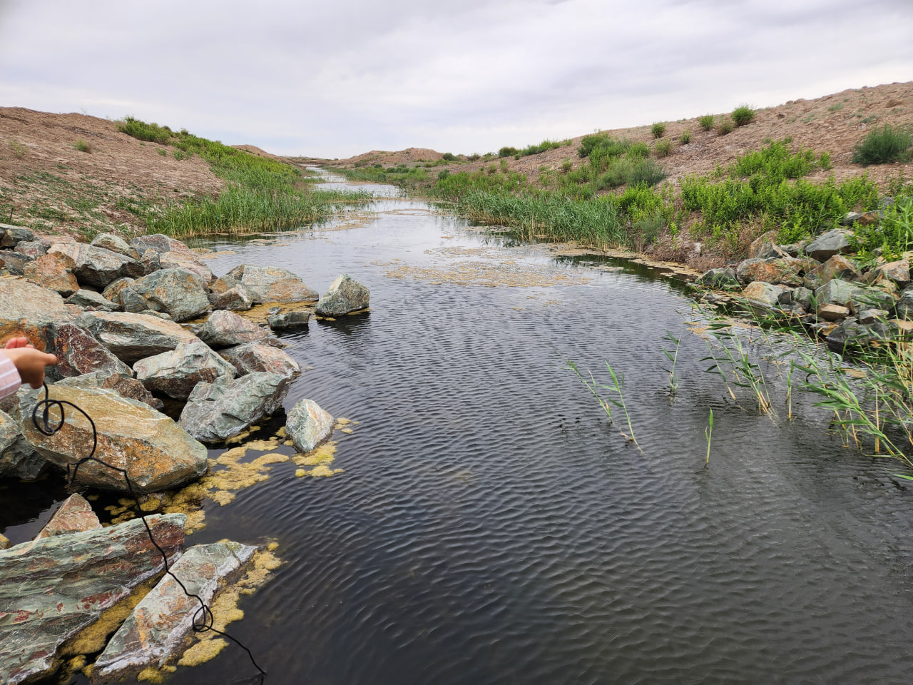
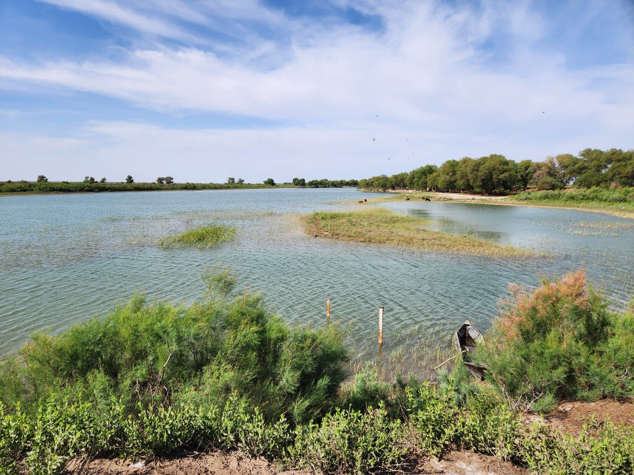
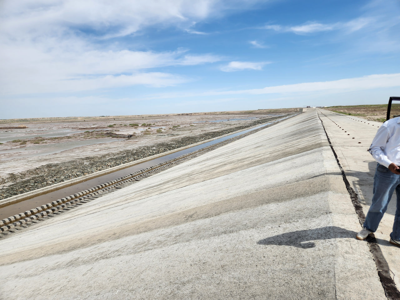
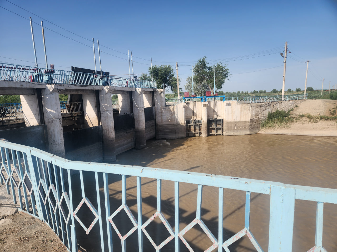
Studying water salinity dynamics in water bodies
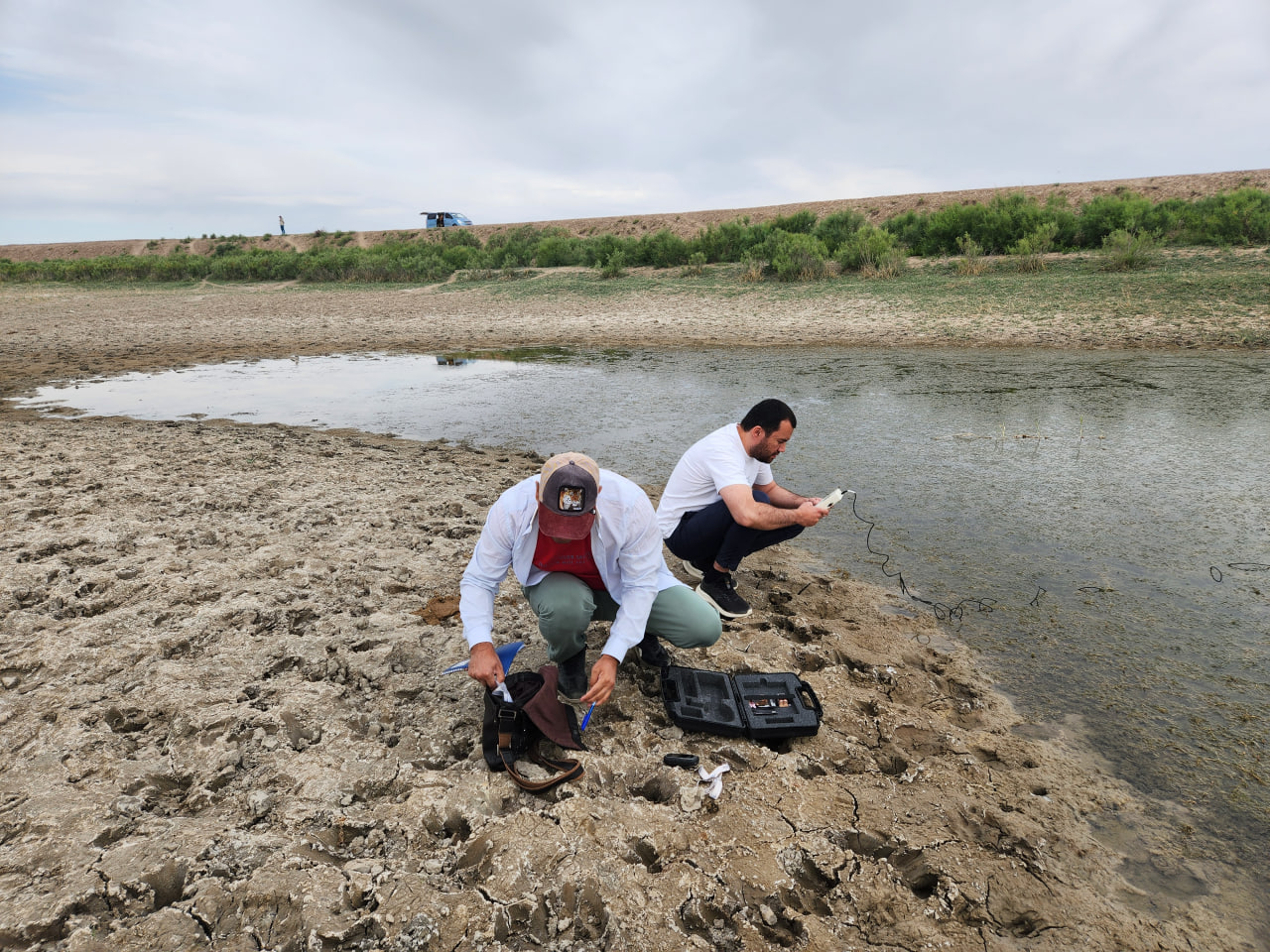
Water sampling at 37 sites and rapid analysis of samples in situ using portable “ProCheck” salinity meters revealed mixed trends in the region.
Findings and practical implications of the survey
The full set of field data collected during the expedition, including hydrological measurements, results of rapid water quality analyses, cartographic materials, and photographic documentation, is to be processed and will form the basis of a comprehensive report.
The findings will provide a scientific evidence-based assessment of the dynamics of sanitary-environmental conditions of aquatic ecosystems in the Aral Sea region under the influence of ongoing climate change. Based on the expedition results, recommendations and expert proposals will be developed and submitted to national water, environmental, and research institutions. These recommendations are expected to support the interstate water governance, improve water allocation, and strengthen transboundary cooperation in the Aral Sea basin.