
No. 67 (728) July 2026
Field Surveys in the Fergana Valley Project Sites to Determine Crop Phenological Development Phases, Improve Irrigation Regimes and Verify Remote Sensing Data
From 29 June to 3 July 2026, experts from SIC ICWC, together with regional executors, conducted the next phase of comprehensive field surveys in Andijan, Namangan, and Fergana provinces of the Fergana Valley. The surveys were carried out as part of the project "Correction of hydromodule zoning of the Syr Darya River Basin using remote sensing data and satellite mapping technologies for correction of water consumption and irrigation regimes for agricultural crops cultivated in the region."
The primary objectives of the surveys were to determine the phenological phases of major crops, collect field data to verify RS-data, and improve evidence-based irrigation regimes.
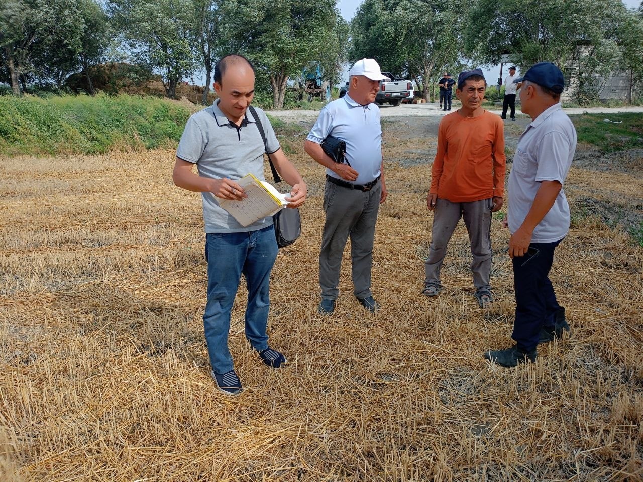
The field surveys were conducted with the active participation of local agronomists, representatives of AKIS (Agricultural Knowledge and Innovation Center), the state water supply service, water management organizations, and farm managers. This close interagency cooperation enabled experts not only to carry out a detailed assessment of crop conditions but also to get valuable information directly from land users on sowing dates, irrigation schedules, agronomic practices, and characteristics of the current growing season.
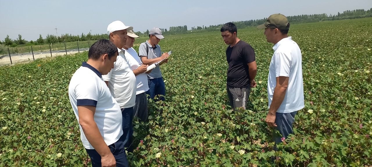
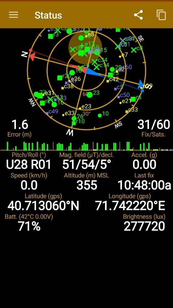
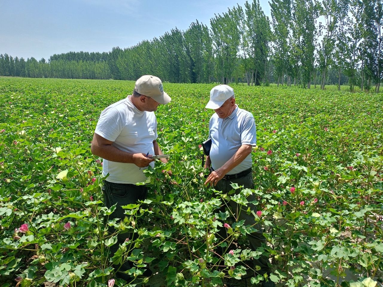
The surveys were carried out using a standardized methodology for comprehensive assessment of crop conditions. For each surveyed site, geographic coordinates were fixed using Garmin eTrex GPS tool, crop phenological phases were documented, and crop conditions, canopy, and plant density were assessed visually. All observations were documented through photographs and recorded in field observation forms.
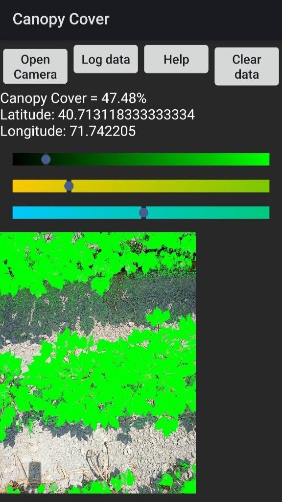
One of the key components of the surveys was assessing vegetation cover using the CANOPEO mobile application, which enables rapid estimation of the proportion of ground surface covered by green vegetation. These measurements provide additional information for estimating green biomass and for the subsequent calibration and validation of RS-derived vegetation indices (NDVI and SAVI) and TIMESAT.
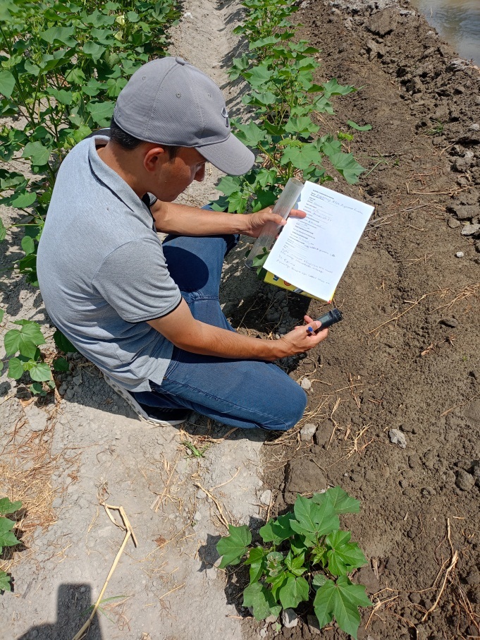
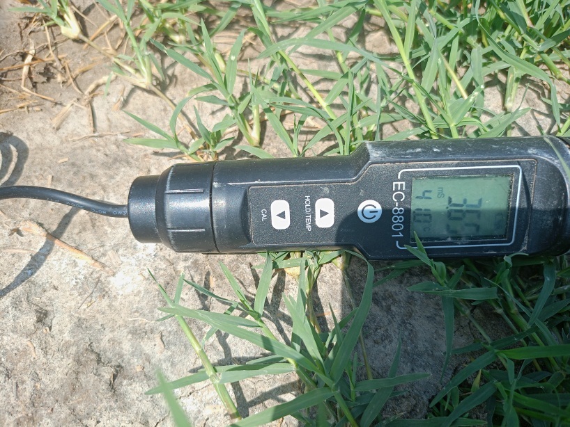
In addition, in situ measurements of soil temperature and salinity were made by portable EC-8801 meter. These measurements provide information on soil condition at the time of survey and support the analysis of relationship between crop development and irrigation regime.
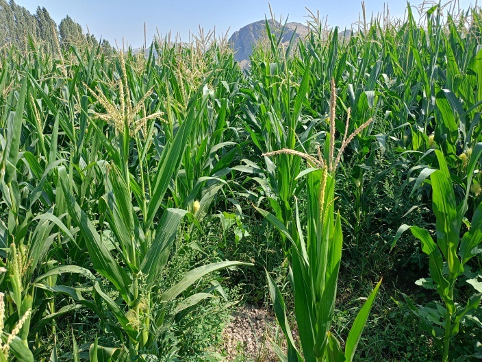
Experts surveyed major crops cultivated in the Fergana Valley. In most of the surveyed fields, cotton was at the phase of intensive growth, budding, flowering, and the onset of boll formation. Corn was generally in the phases of vigorous growth, tasseling, and early ear development. In the surveyed areas, the winter wheat harvest was nearing completion. At the same time, experts inspected recently harvested fields, where sowing of double crops - primarily silage corn - was already well underway. Rice was predominantly at the tillering stage and undergoing active growth. Alfalfa fields were characterized by dense stands and were entering the flowering stage. In a number of farms, two cuttings had already been completed, while preparations for the third cutting were underway. Overall, the surveyed crops were in satisfactory to good condition and exhibited relatively uniform development. These observations provide a reliable basis for refining the timing of key phenological phases and improving the accuracy of subsequent calculations of crop water requirements.
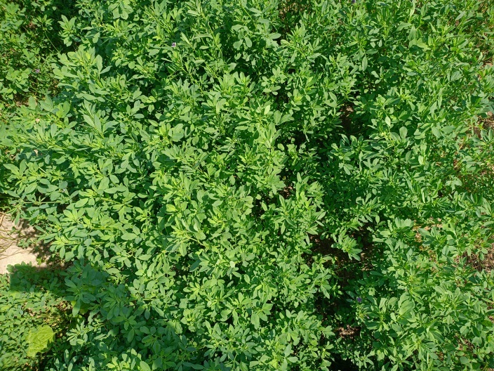
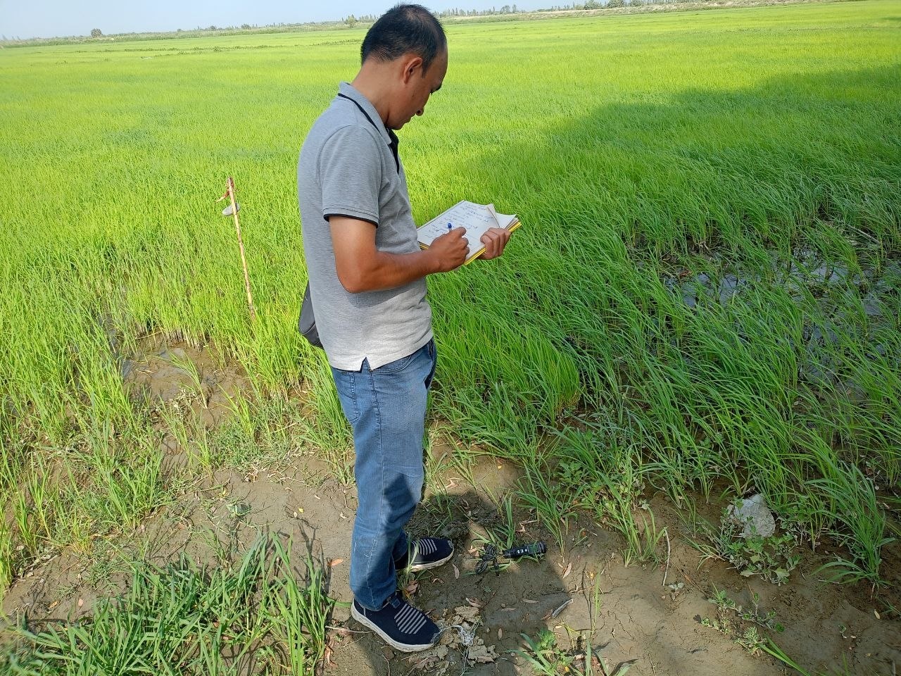
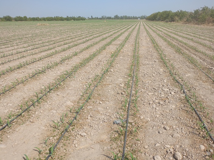
The data collected during the field surveys are of significant practical value. Comparing ground observations with RS data helps to improve the accuracy of satellite data interpretation and calibrate models used to estimate water requirements of major crops. This, in turn, enhances the reliability of recommendations on irrigation scheduling and supports more efficient distribution of water under increasing water scarcity.
The research also provides scientific support for the tasks set forth in the Decree of the President of the Republic of Uzbekistan (UP-130 of 12 August 2025). These include revisiting the boundaries of hydromodule zones, updating regional hydromodule zoning maps, refining evidence-based irrigation regimes based on current climatic data and RS data, and improving the methodologies and standards for crop irrigation.