
No. 97 (758) September 2026
The SIC ICWC Conducts Further Field Studies in the Fergana valley
From 22 to 26 September 2026, a team conducted further field studies at research sites in Andijan, Namangan, and Fergana provinces, as part of the project “Correction of Hydromodule Zoning of the Syr Darya River Basin Using Remote Sensing Data and Satellite Mapping Technologies for Correction of Water Consumption and Irrigation Regimes for Agricultural Crops Cultivated in the Region,”
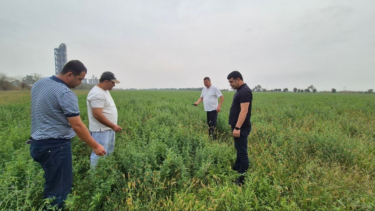
The fieldwork was carried out by SIC ICWC project implementers – Sh. Kenjabayev and A. Dolidudko, representatives of the water and agricultural sectors, and Anna Seignovert, Project Officer, AFD Representative office in Uzbekistan.
One of the objectives of the field trip was to prepare video materials for a film summarizing the project results. The film will showcase the different stages of the research, from field surveys and the collection of baseline data to the application of Earth remote sensing (ERS) techniques, assessment of agricultural crop water requirements, and development of recommendations for irrigation regimes. Filming was conducted directly at the pilot sites in the Fergana Valley. This will make it possible to demonstrate, through practical examples, how the methods developed under the project are applied under actual production conditions, what data are used for calculations, and how the research findings can be applied by water and agricultural specialists.
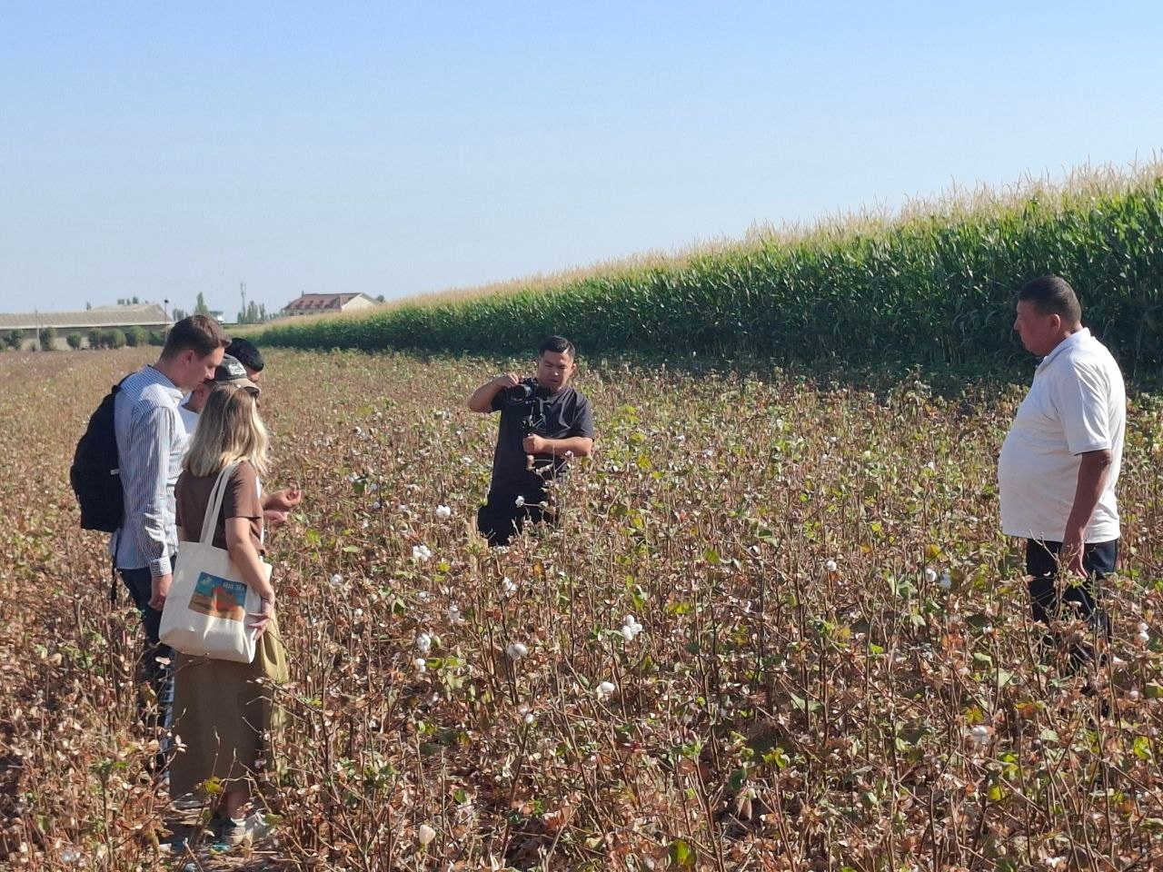
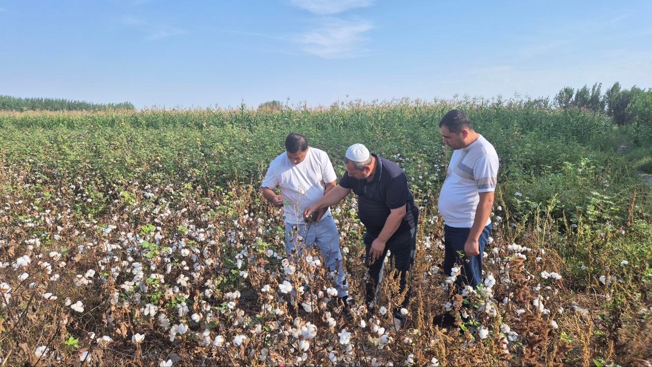
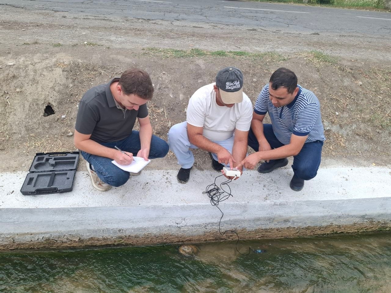
Alongside the preparation of the video materials, specialists continued field observations. At the pilot sites, data on the development stages and yields of the major crops, as well as the quality of irrigation water delivered to the fields, were collected and verified. The collected data were discussed with local specialists and experts to refine and validate the results obtained through remote sensing. Ground-based observations are particularly important because they make it possible to account for the actual conditions at specific agricultural sites and improve the reliability of ERS data interpretation. The preliminary project results were also presented and discussed during the meetings, including approaches to assessing the water requirements of agricultural crops and their potential application to improving irrigation regimes.
One of the key outcomes of the project is the development and validation of the SEBAL energy model and SMIP6 climate models for assessing and forecasting the irrigation water requirements of agricultural crops. The calculation model was developed using data for the period through 2025. For independent verification of the model results, actual data from the “Naryn-Karadarya” Basin Irrigation System Authority (BISA) on water intake for agricultural purposes during the 2026 growing season, from April through the second decade of September, were used. These data were not directly used in the model development or calibration, allowing for an independent preliminary validation of its performance. For this purpose, the estimated water demand for 2026 was compared with the actual water intake recorded for the same period. The preliminary comparison showed approximately 93% agreement between the estimated and actual water consumption figures. This result provides a basis for further application of the model to refine estimates of agricultural crop water consumption, improve water distribution planning, and develop recommendations for irrigation regimes that take into account the specific natural, climatic, and soil conditions of the study area.
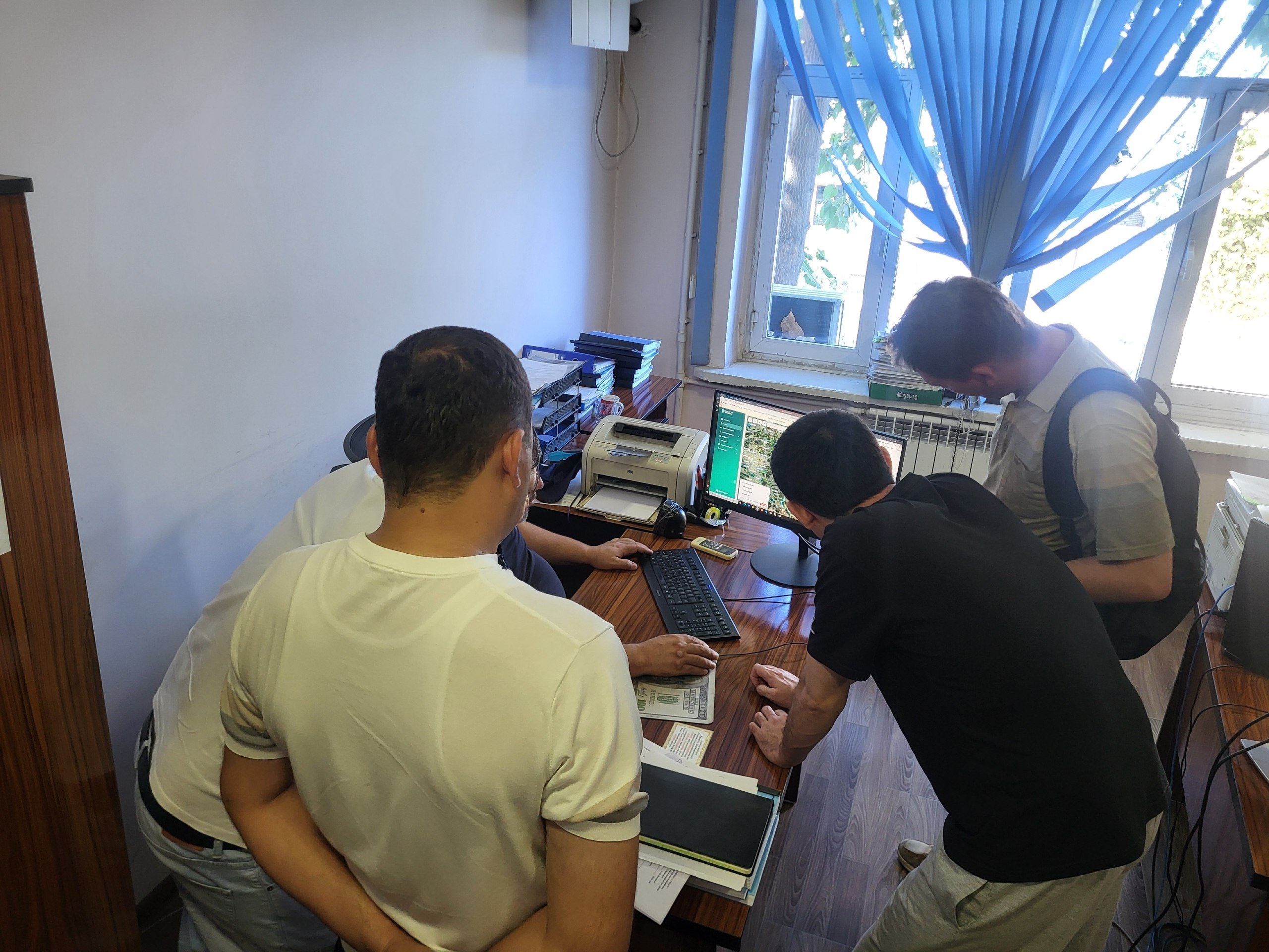
The availability of relevant field boundaries creates additional opportunities for the spatial integration of the project results. In particular, the developed methods of hydromodule zoning, remote sensing analysis, and water consumption assessment can be directly linked to specific agricultural fields. Of particular interest is the possibility of integrating climate modeling results with digital field boundaries. The climate scenarios of changes in agricultural crop water consumption through 2050, developed as part of the project, can be spatially visualized for selected fields and integrated into the information systems CropAgro and Water Accounting.
Such an approach would enable a shift from generalized assessments at the district and hydromodule-zone levels to more detailed assessments of irrigation water requirements directly at the level of individual agricultural fields. This would create additional opportunities for water planning, assessment of future water-supply risks, and adaptation of irrigation regimes to changing climatic conditions.
The materials collected during the field visits are of significant practical value. Comparing the results of ground-based surveys with remote sensing data helps improve the accuracy of satellite data interpretation and refine the calibration of water consumption models for major crops. This, in turn, enhances the reliability of irrigation regime recommendations and contributes to more efficient water allocation under conditions of increasing water scarcity. The forthcoming video will bring together information on the research conducted, the methods applied, and the results achieved, highlighting the practical value of the project for water and agricultural specialists as well as a wider audience.