SIC ICWC FINISHES THE FOURTH EXPEDITION TO THE DRIED BED OF THE ARAL SEA
SIC ICWC jointly with the International Innovation Center for the Aral Region finished the expedition to the dried bed of the Aral Sea (from 20 September to 10 October 2023) within the framework of the UNDP-UNICEF-FAO Program entitled “Empowering Youth Towards a Brighter Future through Green and Innovative Development of the Aral Sea region.”
The expedition was focused on observation of the main environmental characteristics of given territory.
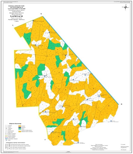
The expedition team was composed of 14 experts, including forester, hydrogeologists, environmentalist, soil scientist, botanist, GIS experts and others. The route extended to more than 2,500 km, and over 500 thousand hectares were studied.
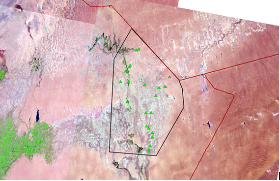
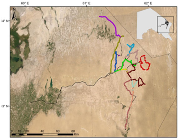
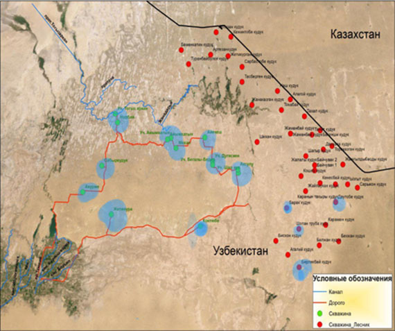
Study area, expedition’s routes
The expedition covered an area from the border with Kazakhstan, including the adjacent zone of the South Karakalpak collecting drain, which diverts wastewater from southern regions (Turtkul, Beruni, Elikkala) of Karakalpakstan. The collecting drain’s length is 193.2 km, while the design discharge is 24 m3/s.
The landscape of the study area is very diverse: combination of sand dunes, wet salt marshes (shor solonchak soil) formed in place of drying up shallow salt lakes, planes covered by saxaul and other desert vegetation, dried river channels, water surface of the collecting drain mainly filled with reed, and channels stemming from the drain towards the Eastern basin of the Aral Sea.
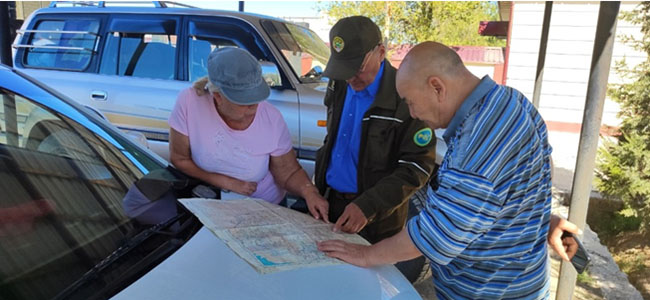
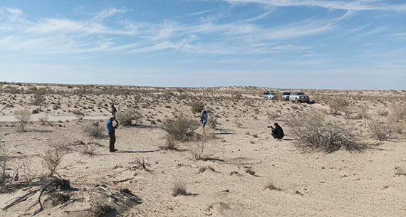
Discussing details of the route: expedition leader, forester, hydrogeologist
The soil cover also changes with the landscape: shor solonchak is replaced by desert soil and sand. 22 soil profiles were cut in representative sites and characterized to study the soil. Additionally, soil samples were taken for laboratory analysis to make more precise soil classification.
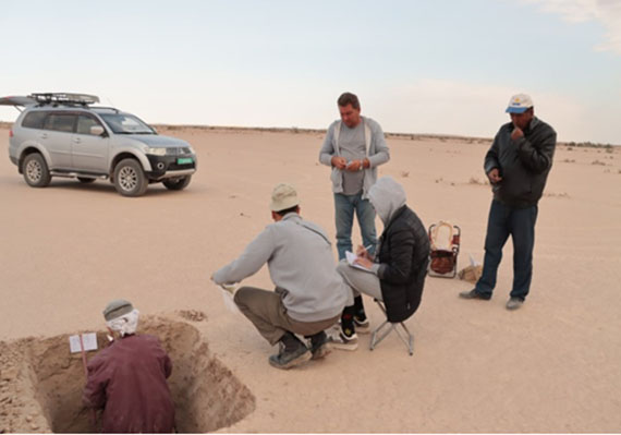
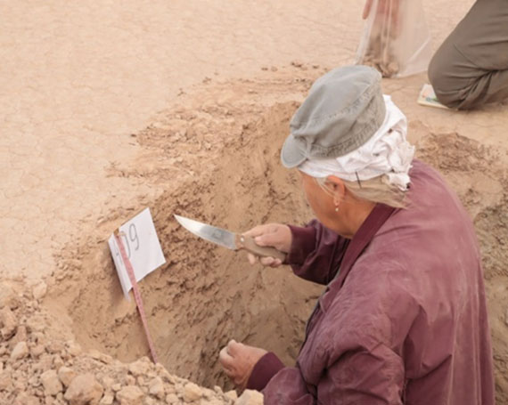
Characterizing the soil profileа
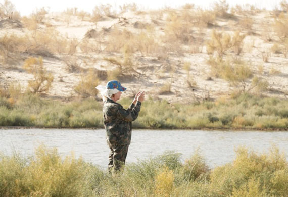
Besides open water sites, a number of artesian boreholes are found in the study area. Hydrogeologists surveyed all available water sources – 26 wells and 12 boreholes – and measured discharge, groundwater salinity and temperature, and water tables.
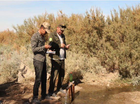
Borehole and well mapping. Measurements
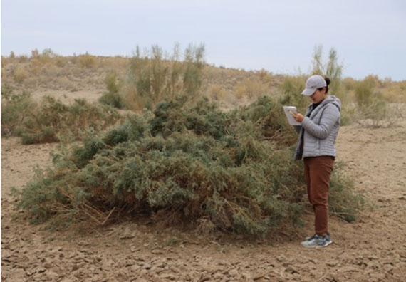
Afforestation areas were quantified and their status was assessed in the sites of Takhtakupyr forestry.
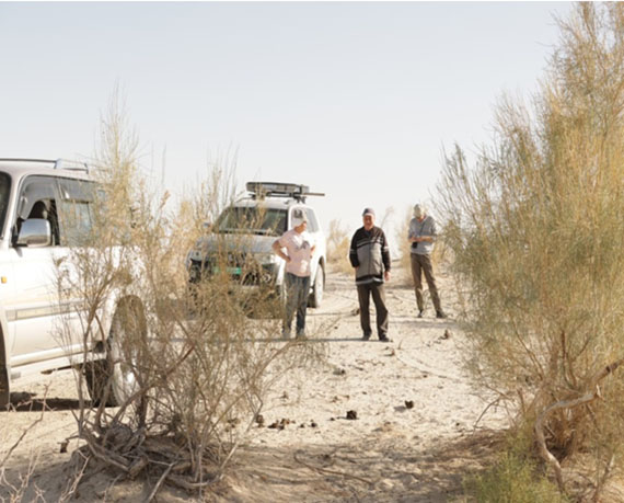
A forest site along the route. Plantation mapping
Point-by-point botanical description was made every 1 km of the route. The experts surveyed the area, took photos, and described all vegetation, its conditions, and soil cover for each of 411 points.
Description of the territoryи
As a result of the survey of vegetation cover, its status and composition, more than 40 higher plant species were identified. Over 100 plants were collected for herbaria.
Analysis of plant species and families shows that 17 families, such as Chenopodiaceae, Tamaricaceae, Fabaceae, Polygonaceae, Poaceae, Nitrariaceae, Solanaceae, Peganaceae, Zygophyllaceae, Asteraceae, Apocynaceae, Convolvulaceae, Boraginaceae, Brassicaceae, Cyperaceae, Ephedraceae, and Apiaceae include 40 plant species.
Finally, a GIS-map of environmental risks was generated on the base of the collected information.
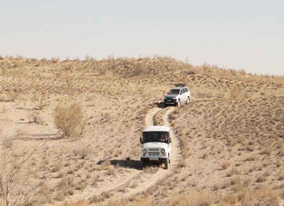
Roads
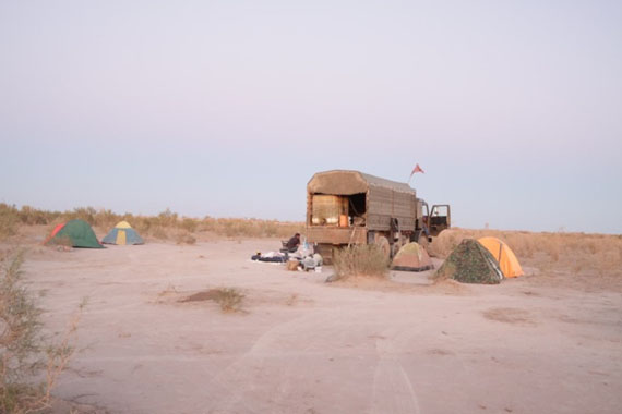
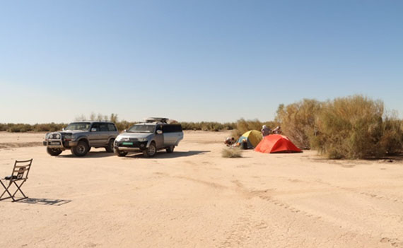
Camp
Gender
G.V. Stulina, expedition leader
|