No. 67 (511) November 2024
ANNUAL WORKSHOP ON SAPPHIRE CENTRAL ASIA PROJECT
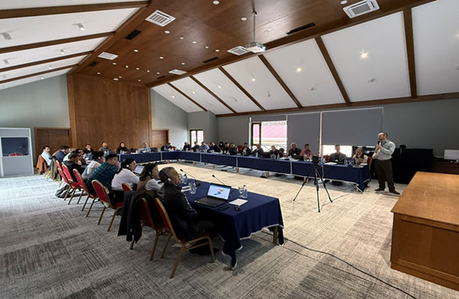
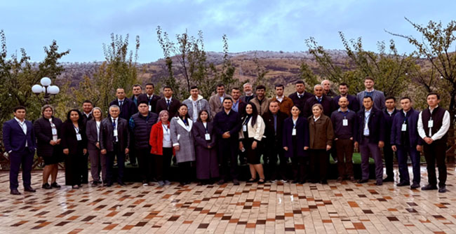
The second annual workshop on the SAPPHIRE Central Asia project took place in the Tashkent region from the 28th of October to the 1st of November, 2024.
The participants – about 40 experts from the Central Asian countries, as well as from Croatia and Switzerland – have gathered to discuss the issues related to the modernization of operational hydrology and hydrological forecasting in national meteorological and hydrological organizations in Central Asia. Ms. Gulnoza Khamdamova participated in this workshop on behalf of SIC ICWC.

The SAPPHIRE Central Asia project is implemented by the Hydrosolutions GmbH. Thanks to this regional project, the national Hydrometeorological Services will be able to deliver state-of-the-art consensus-based discharge forecasts to stakeholders from agriculture, hydropower and international organizations in the region. These forecasts will play a crucial role by assisting the region plan and manage its water resources more effectively, both at the national and regional levels.

The final day of the program included a study tour to the main watercourses that feed the Charvak reservoir.

During the workshop, Hydrosolutions GmbH demonstrated the new fully digital assistant for operational hydrology and different state-of-the-art methods for discharge forecasting.

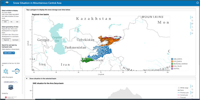
The Snowmapper tool for forecasting snow storage in Central Asia was presented as well. This tool available on https://snowmapper.ch/mcass-dashboard has been developed as part of collaboration between the SAPPHIRE and CROMO-ADAPT projects.
The TopoPyScale tool from the CROMO-ADAPT project uses both climate model data and digital elevation models (DEMs) to correct atmospheric state variables (e.g. temperature, pressure, humidity, etc.). TopoPyScale provides tools to interpolate and correct such variables to be locally relevant in the topographic context.
The tool can be found on https://topopyscale.readthedocs.io