No. 69 (593) August 2025
Expedition organized by SIC: Aidar-Arnasoy Lake System
From July 28 to August 3, 2025, SIC ICWC organized an expedition to the Aidar-Arnasoy Lake System (AALS). The expedition was conducted within Lake Aidarkul in Navoiy province.
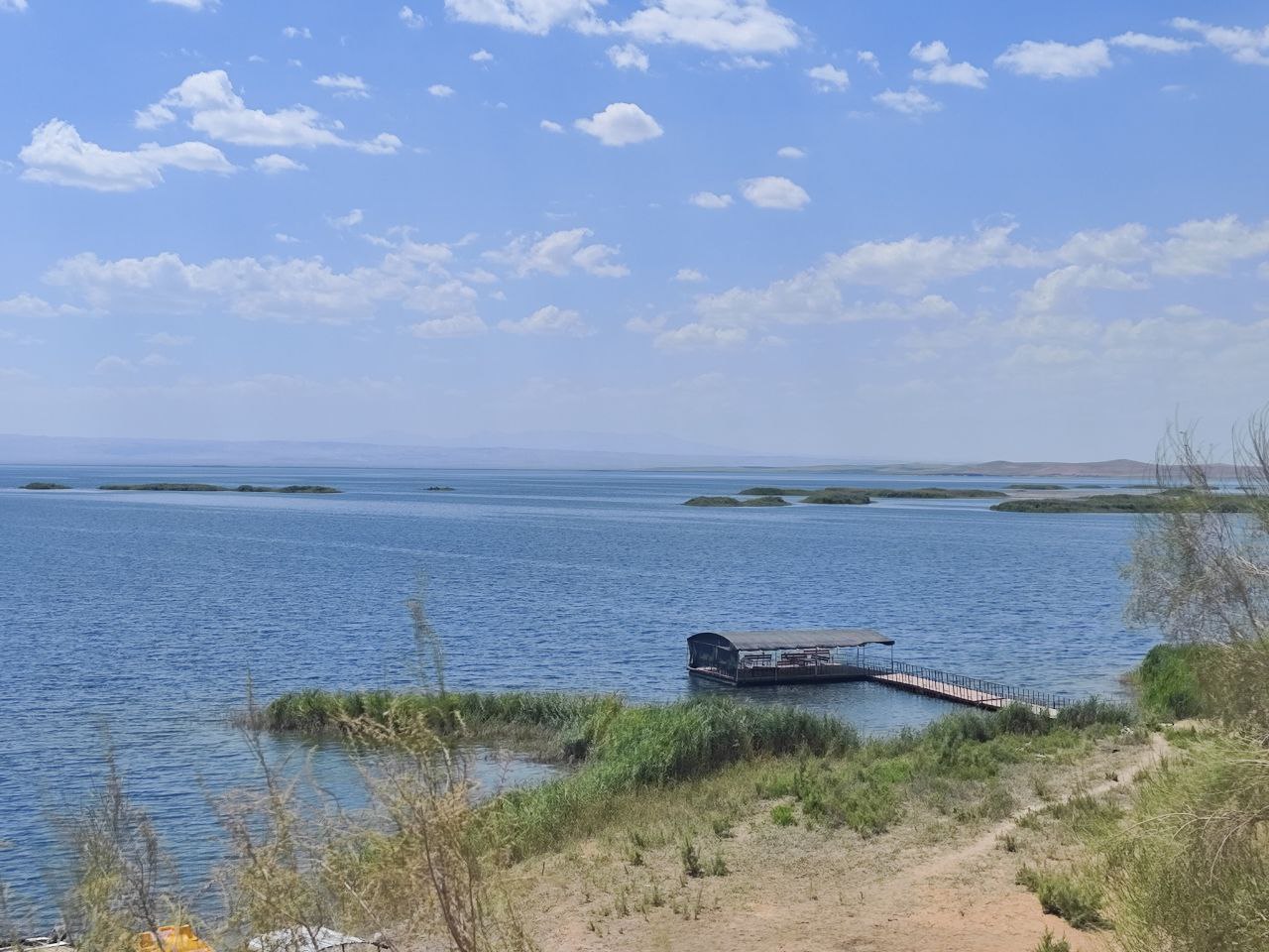
Lake Aidarkul
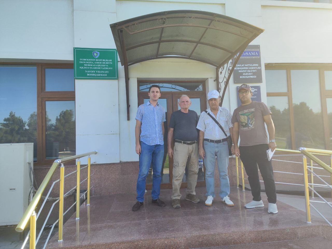
Prior to the survey, meetings and consultations were held with the head and responsible staff of the Navoiy Province Department of Ecology and Environmental Protection.
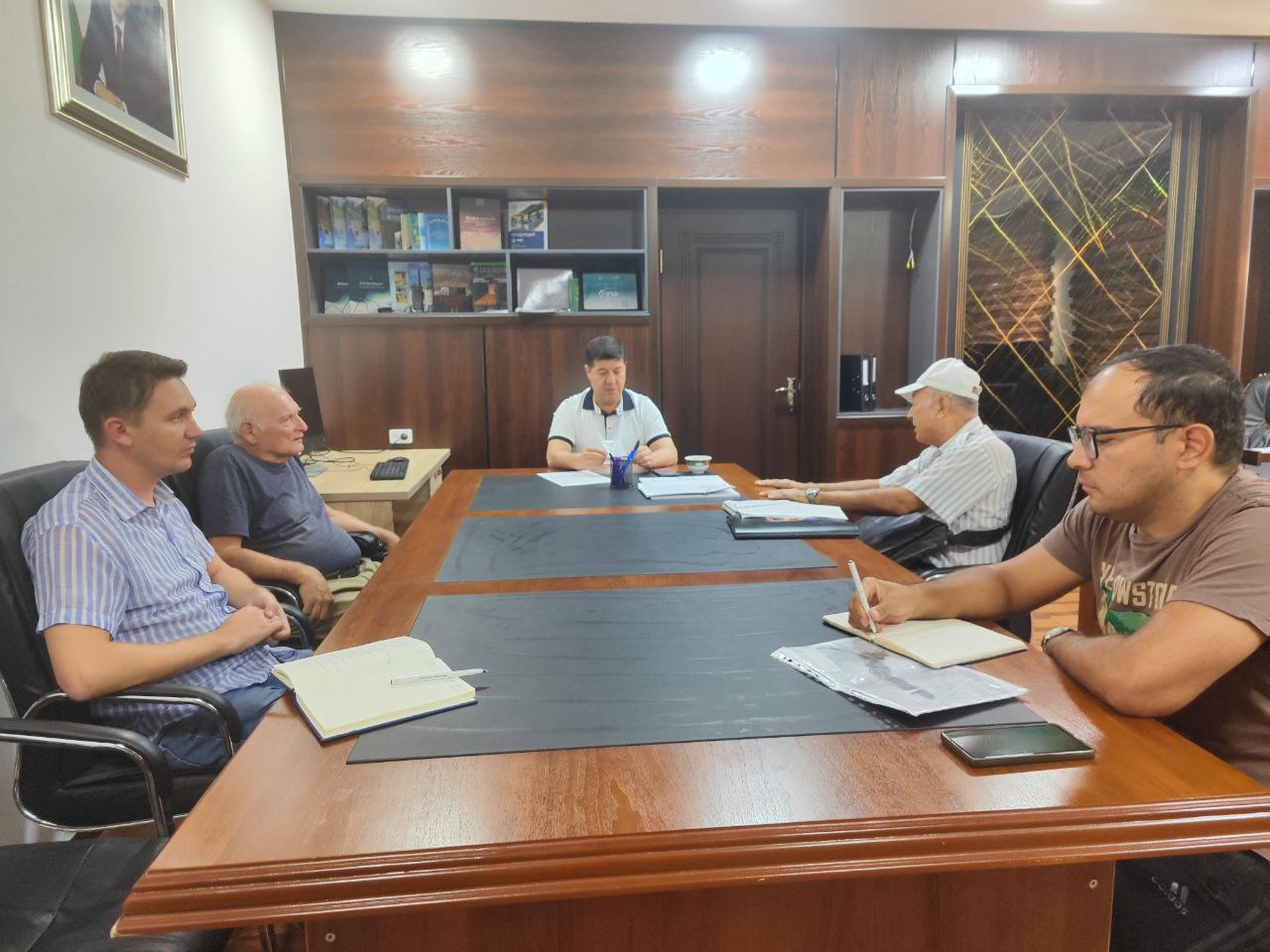
Meeting between the head of the Navoiy Province Department of Ecology and Environmental Protection and the SIC ICWC team
Meeting between the head of the Navoiy Province Department of Ecology and Environmental Protection and the SIC ICWC team
As a result of the meetings, a survey route was outlined. At each water body, measurements of water chemistry were taken using the portable data logger “ProCheck,” along with a comprehensive assessment of the state of the environment.
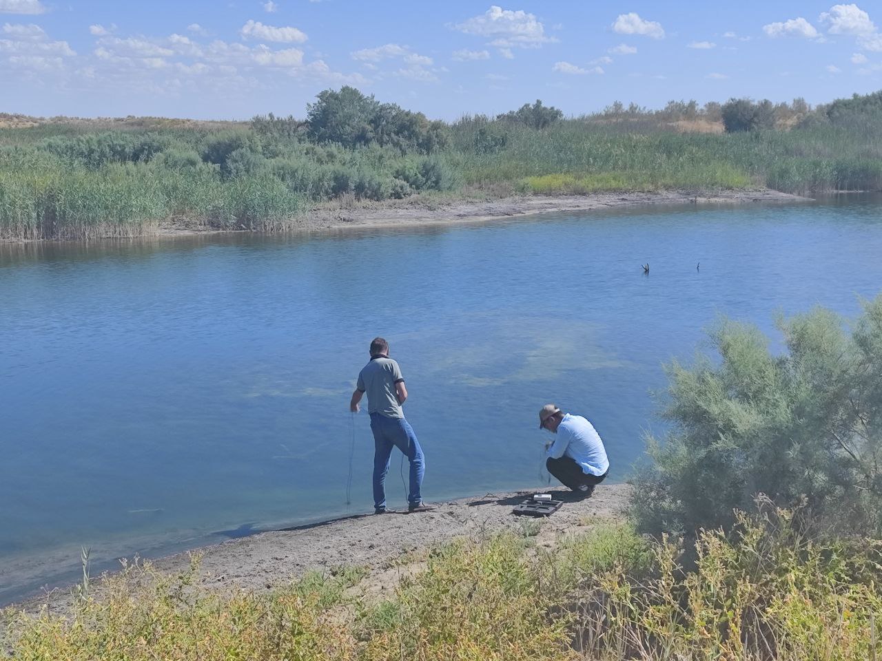
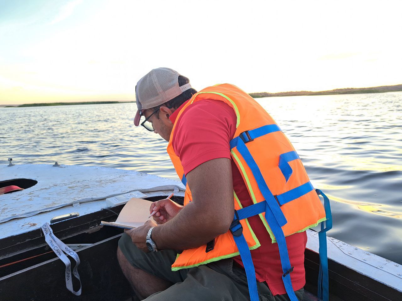
Water sampling
Key Route Points:
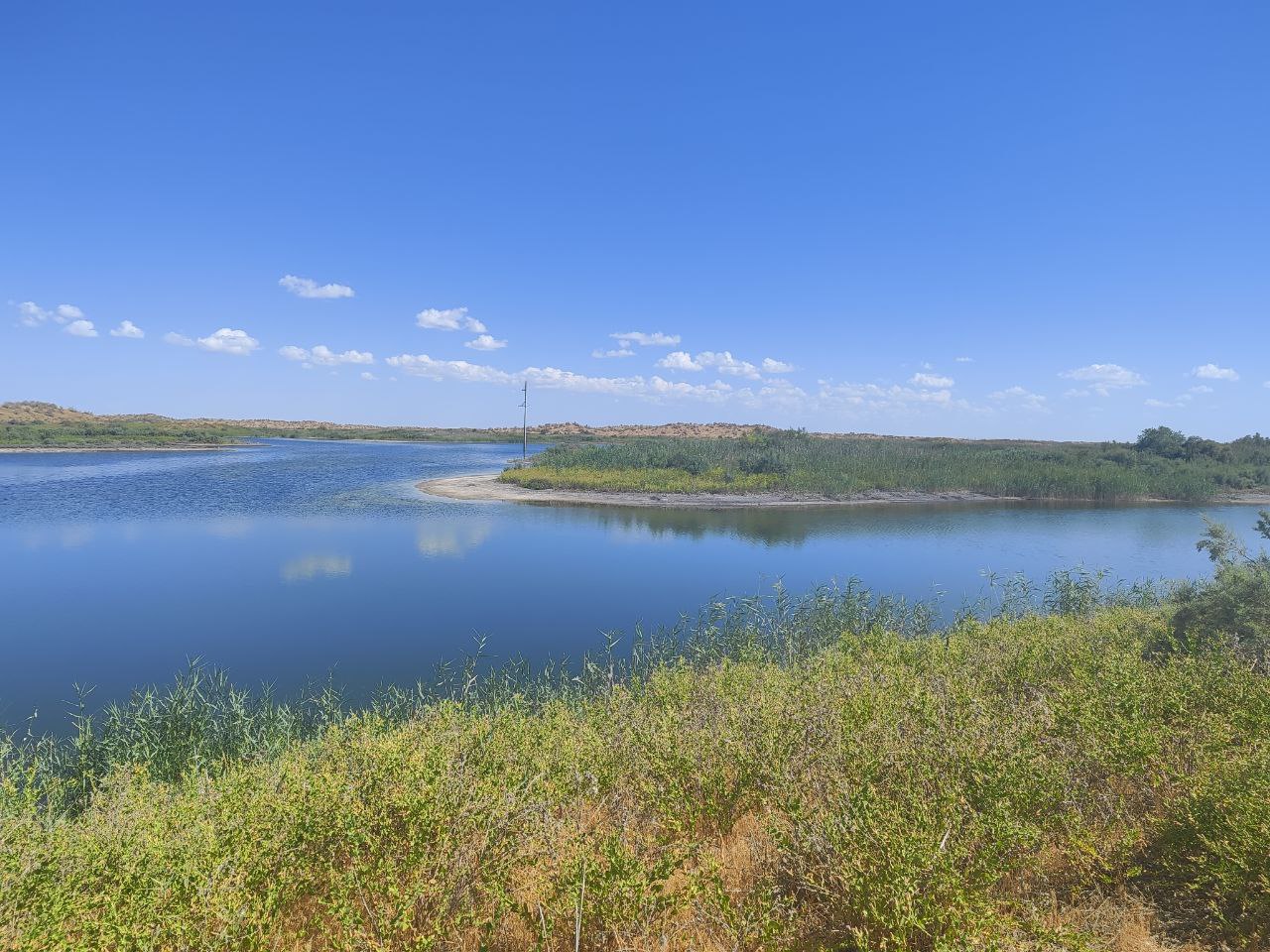
Lake Aidarkul – a large artificial water body in the Aidar-Arnasay Lake System, located eastward and southeastward along the foothills of the Nuratau Ridge, stretching for more than 130 km and gradually transitioning into the Tuzkan Lake basin. The lake was formed in 1969 in the place of the Arnasay lowland during catastrophic spring floods.
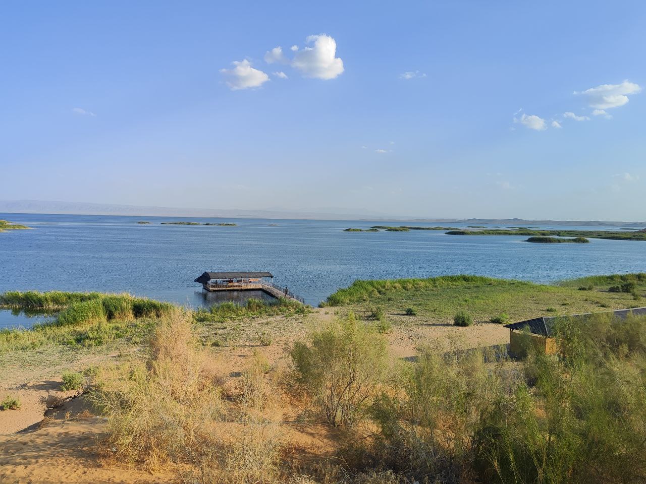
Lake Aidarkul
View of the shoreline from the side of Lake Aidarkul
Environmental posts (monitoring points for air and water quality, and biodiversity preservation). The Navoiy province is rich in mineral and raw material resources, which has contributed to the development of mining, chemical, and metallurgical industries that may have a negative impact on the environment. There are two environmental posts in the Navoiy province located in the settlements of Kushkuduk and Boymurad.
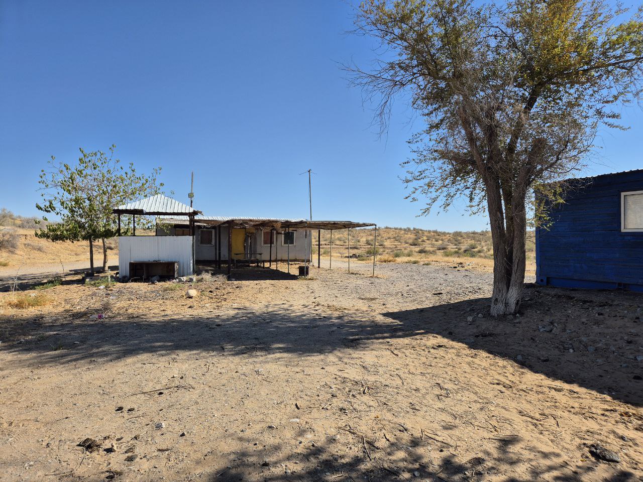
Environmental post in Kushkuduk
Tailing dump of Hydrometallurgical Plant No. 7 (HMP-7) - the largest industrial complex for the safe storage of waste (tailings) from metal extraction process. The designated area is 468 ha, with the tailings pond itself covering 308 ha. The sludge pipeline stretches for 10 km (PK - 100).
Shallow bays of Lake Aidarkul represent coastal areas with shallow depths, where water gradually transitions into land. They are part of the vast Arnasay Lake System and are characterized by calm waters, abundant fish, and picturesque landscapes.
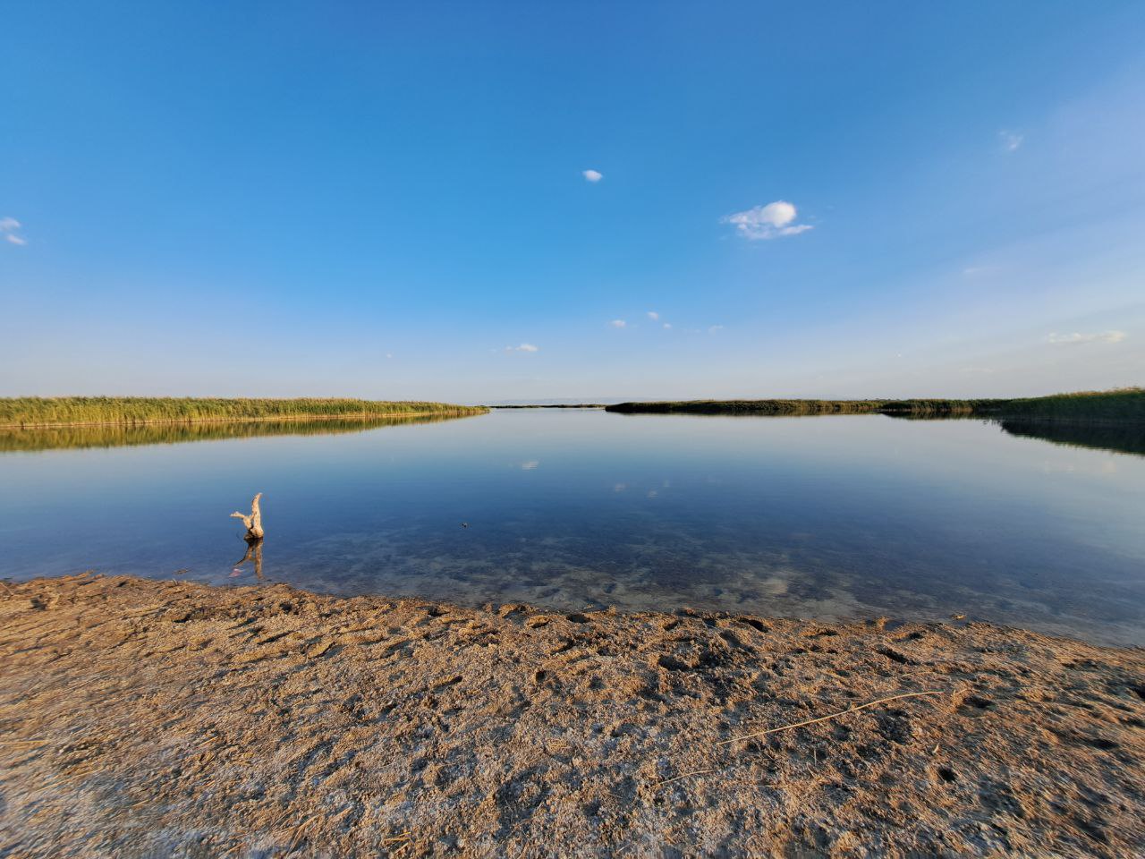
Shallow bays of Lake Aydarkul
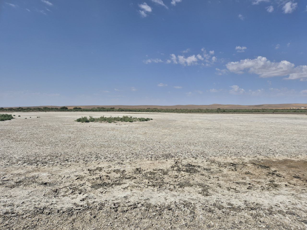
Field studies confirmed a rapid decline in the water level of Lake Aidarkul, along with a change in salinity levels from the eastern to the western part — from 8.0–10.0 to 14.0–16.0 g/l. Consequently, the water is becoming unsuitable for ichthyofauna, having a detrimental impact on the surrounding flora and fauna.
If the observed reduction in water volume continues, it may lead to the complete degradation and drying up of the lake. This would result in significant environmental, social, and economic problems in the adjacent areas of the Aidar-Arnasay Lake System (AALS).
If the observed reduction in water volume continues, it may lead to the complete degradation and drying up of the lake. This would result in significant environmental, social, and economic problems in the adjacent areas of the Aidar-Arnasay Lake System (AALS).
If the observed reduction in water volume continues, it may lead to the complete degradation and drying up of the lake. This would result in significant environmental, social, and economic problems in the adjacent areas of the Aidar-Arnasay Lake System (AALS).